If you love what we do, please consider “buying us a coffee” to help us fund our endeavour of helping New Zealander’s get outdoors! All donations go towards the running of NZFA.
I have had my heart set on this for a few years now. While looking for my next tramp, I came across a blog post from a couple who had done this tramp just after covid. It sounded like quite the adventure, navigating a track that had also been the victim of lockdown. Extremely overgrown with some navigation skills required.
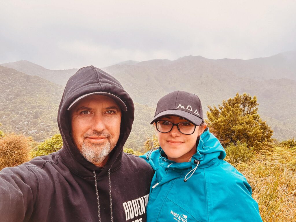
This holidays I decided to finally do it and take Jono along for the ride. Jono is the camper while i am the tramper. But we are always partners in adventure so he agreed and I began to plan. This was definitely an adventure with a few lessons learned.
There isn’t much info on this track. The hut is on DOCs website but the tracks are only marked on their maps, no information actually there. I searched Facebook groups and blog posts, I studied the topographic map (but not as well as I should have). I was feeling confident. I anticipated some overgrowth and some decent gaps between the orange markers that reassure we would be on the right track. I also anticipated some level of ascent and descent, but again, I should have studied the topo map closer.
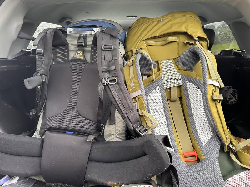
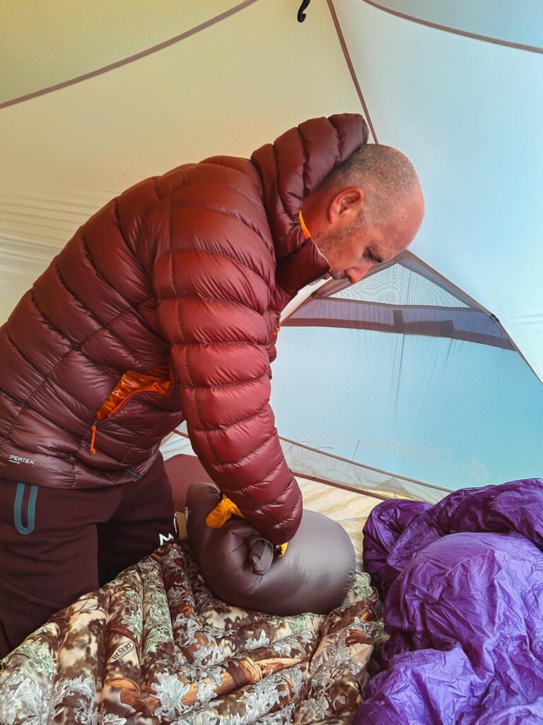
It’s New Years Day, we awaken to a gloomy overcast day. The weather for over the hill is predicted to be showers and cooler temperatures. A high of 14 and a low of 12. I ensure I have packed a spare set of clothes. I always take twice as many socks as I need because I hate wet socks. We pack the essentials, snacks, dinner, coffees, the water filter, the PLB. My gut tells me to put a pack liner in my bag. Jono bought me a new sleeping bag for Christmas, a smaller size which goes down to 0 degrees comfort level for women, or -5 degrees comfort level for men. Jono is keen to try out the new Dwight’s tent. It’s much smaller and lighter than our other tents.
My pack weighs in at 13kgs, much lighter than the usual 18-20kgs so I’m feeling a sense of achievement already. We pack the car and make our way over the Remutaka Hill, but not before stopping at Subway to grab a foot long sub. Half for breakfast and saving half for lunch when we arrive at our destination.
As we reach Martinborough, we stop in at the Top10 to book a weekend camping for Martinborough Fair. It’s pretty pricey for $80 a night, but I’m excited for the upcoming weekend.
We continue our journey on the Wairarapa country roads before turning onto to what will become Haurangi Road. We quickly end up on a road of alternating gravel and asphalt. The road narrows and soon we are driving through farmland along a very steep hillside. Sheep adorn the road and the hillsides, not impressed by our car passing through. We see a giant hare run across the road and down the hill. Followed shortly by pheasants and then a family of cows. We then spot a fawn and mama deer. I’m feeling a little like I’m in a Disney movie with all the animals. Little bunnies scuttle across the road.
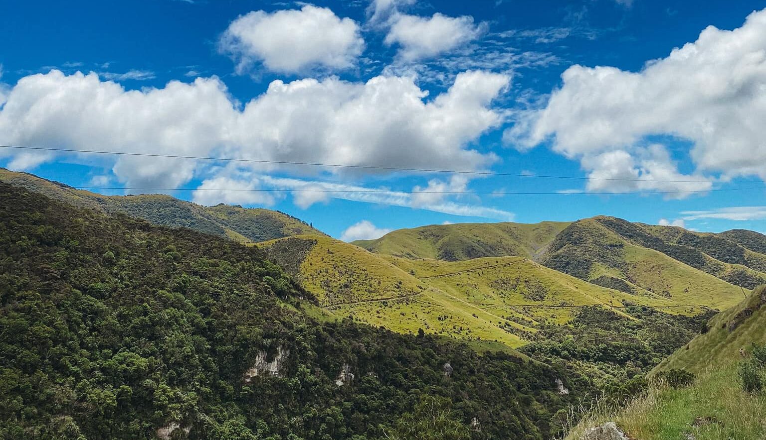
The road then turns rutty. A 4wd would be the vehicle of choice right now, but slowly and surely we make our way to the end of the road. There are large puddles from the rain filling the large ruts from utes and quads. We park up and I get out to admire the mountainous terrain that is beckoning me. Low clouds make for an ominous view. I am glad for the cooler weather because as much as I love sunny days, tramping in the summer heat isn’t my favourite thing to do.
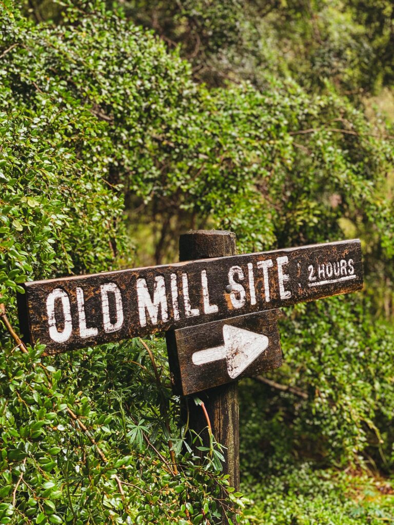
I study the knocked over DOC sign and assess which way we will go. I can hear the raging river so I decide we will go over Pig Ridge, and then our return journey will be back up Old Mill Road. I am not confident going up the 4wd track based on the very large puddle at the beginning of that track. The blogs I read mentioned river crossings so with that in mind, we begin our walk up towards Pig Ridge.
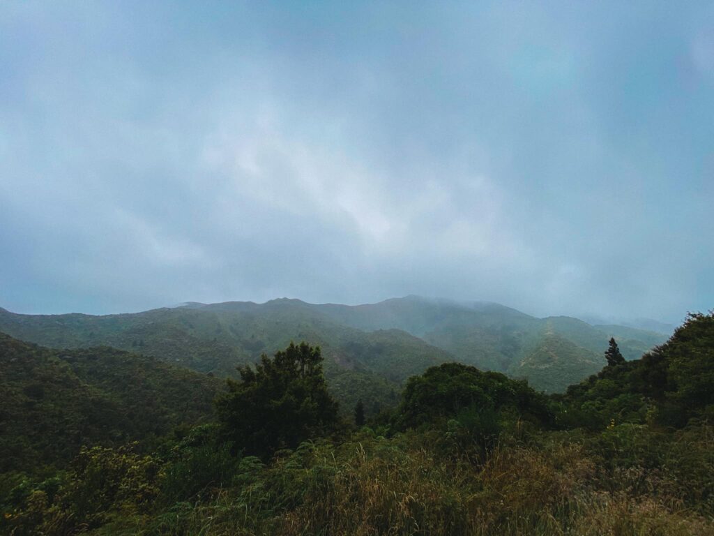
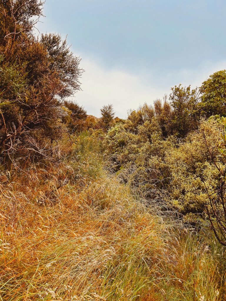
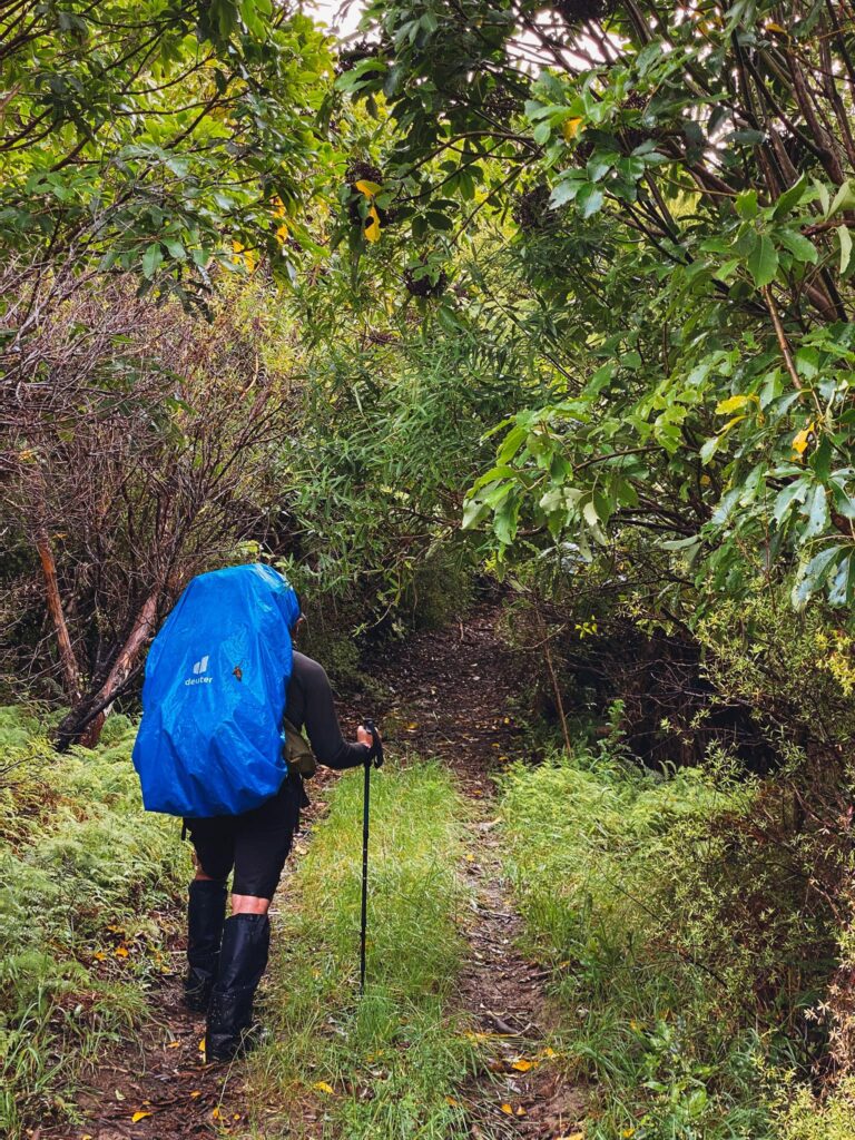
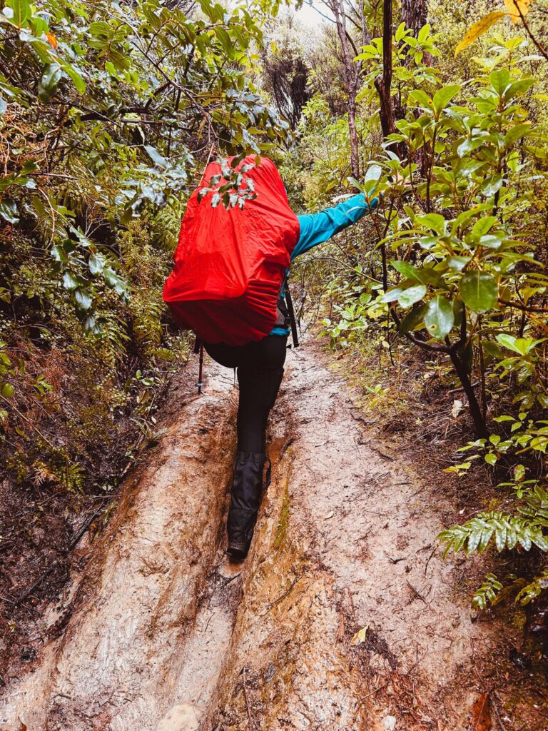
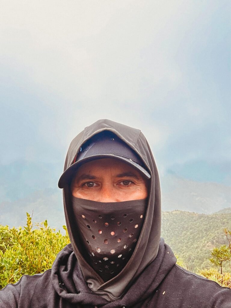
The track is definitely overgrown. I knew that it would be but I was not expecting to this extent. The trees and bushes are saturated with the previous rainfall, and any hopes of staying somewhat dry are dashed. The gorse doesn’t seem as brutal though. The terrain is a gentle uphill but we have to take great care of watching where we step. The track follows a fence line for a while before we then follow a narrow track alongside the steep hill. It’s crumbling in places and the ground is saturated, so it’s slow and steady. Eventually we reach some slightly more open forest with the track gently undulating. Eventually we reach the junction to turn left onto Pig Ridge. This track looks significantly more inviting than the Old Mill Road, so off we trot. The air has become quite chilly in this area. Jono mentions he is feeling the cold. The track begins to descend and I’ve realised that downhills are my Achilles heel. We are in the high cloud and the forest has a beautiful mist. However, my knees are telling me loud and clear their disdain. I’m slow, carefully descending down the slippery path. Jono says he is going to walk ahead a bit to keep moving and keep warm. While I’m generally the speedier walker, I’m aware that I need to take great care on the downhill. He forged on ahead and I happily followed. The adjacent hillside is steep and I’m starting to have visions of me tumbling down.
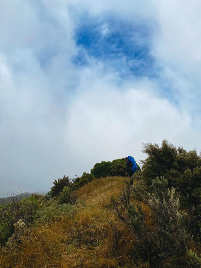
After navigating a series of very thick gorse, I remember other people’s words of having moments of wondering if they are still on the track. I emerge from the overgrowth and find myself at the beginning of a series of ridges we will traverse. I can see Jono waving at me from the next ridge. I stop for a moment and survey the stunning mountainous landscape around me. I’m in awe and it reminds me of the respect we must have of this beautiful wildnerness. How easy it is to become disorentiated. I’m confident in my navigational abilities though and push on ahead towards Jono. The uphill of the ridges are fine but the downhills are somewhat frightening. Slow and steady, one foot carefully in front of the other, steadying myself.
The signposted times suggest 1.5 hours but we’ve already surpassed that. I’m having flashbacks to when we did Totara Flats. Five and a half hours there and we didn’t even make it as far as the hut. But I’d rather be slow and careful than risk tumbling down. The more technical ups and downs are not my forte physically. I’m having a great time though!
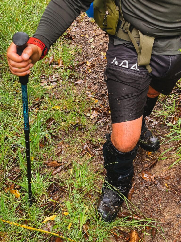
We ascend and descend a few more ridges and we stay together now. Then the track turns into a continuous downhill which looks like a quad bike track. You’d think I’d be relieved but by now my poor knees are struggling on the steep downhill. One tiny step in front of the other. Steadying myself on my pole and trees. I realise I’d much rather two poles on downhills. The fear of falling or slipping is stronger as I get older. I can’t afford to get injured nor do I want to have to call emergency services! So we continue at my slow careful pace.
Pig Ridge earns it name. Upon the tops of the ridges, there is numerous patches where the pigs have been rooting around. Fresh droppings indicate their recent foraging. I joke to Jono this must be the place to be for piggy buffets.
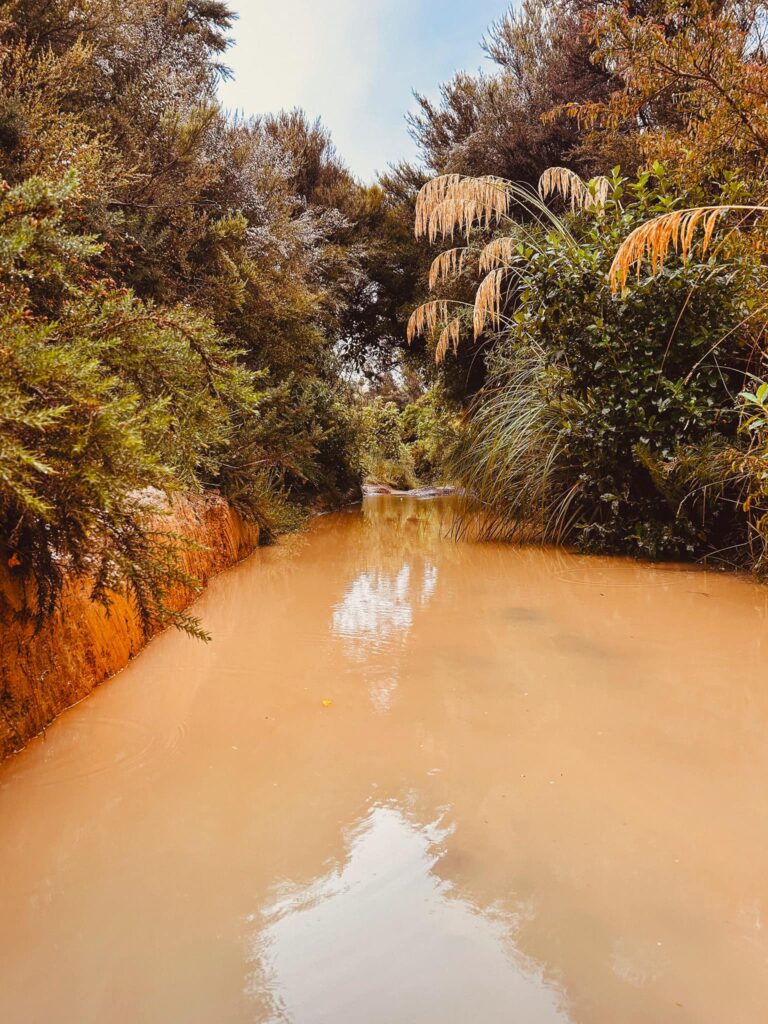
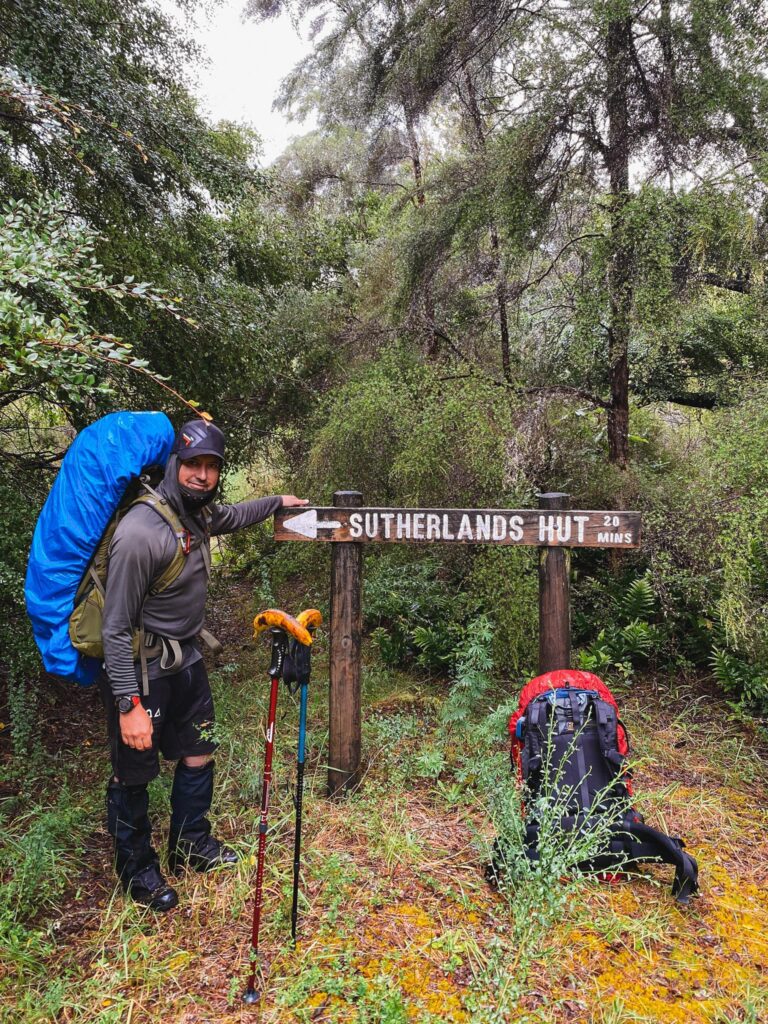
We eventually make it to the bottom where the track meets back up with Old Mill Rd track. The sign says 20 minutes/500 metres to Sutherlands Hut. We never planned on sleeping at the hut, but I was looking forward to a dry space to get changed and make a coffee. About 10 minutes later we reach the river. It is raging. There is also no track directly across the other side of the river, indicating that we would need to walk upstream. There is no way to do this. We maybe could have bushbashed along the bank, but by now we are sore and tired.
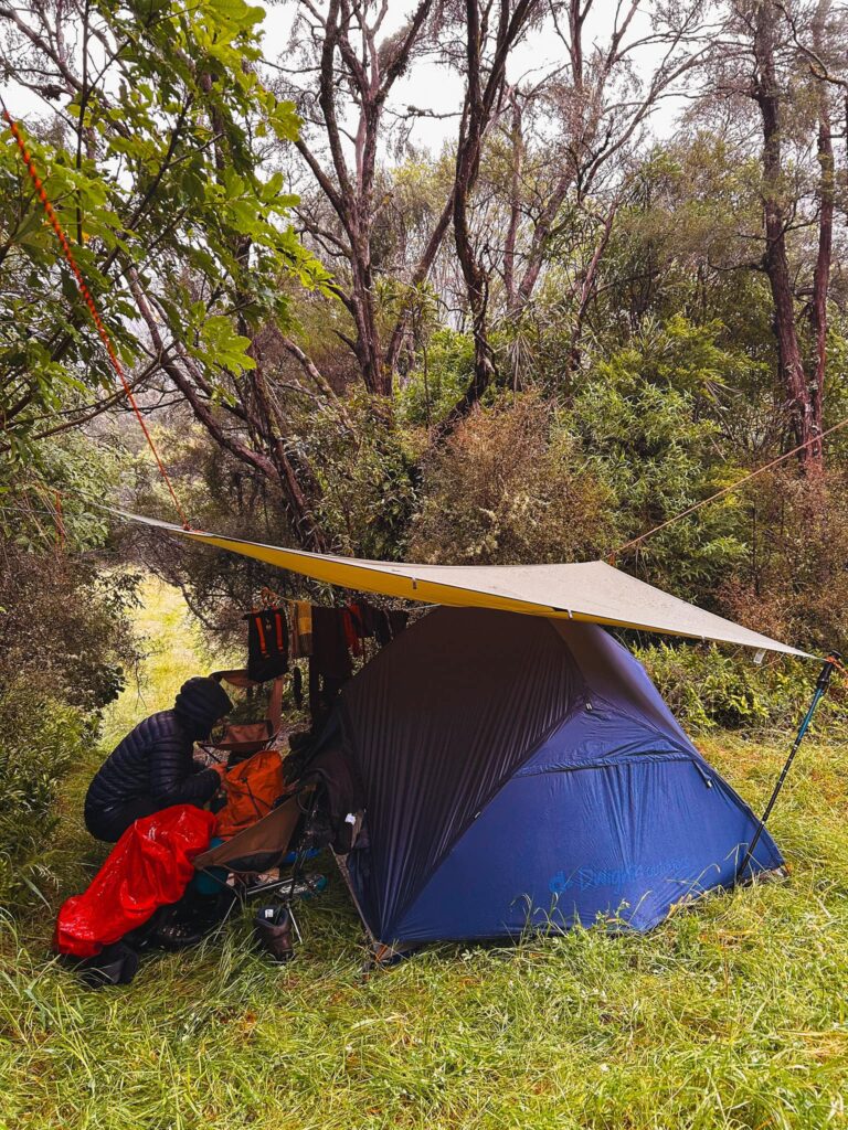
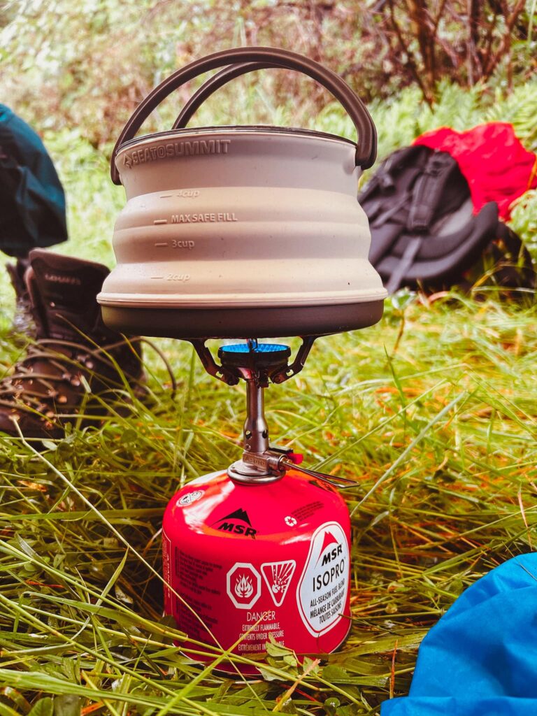
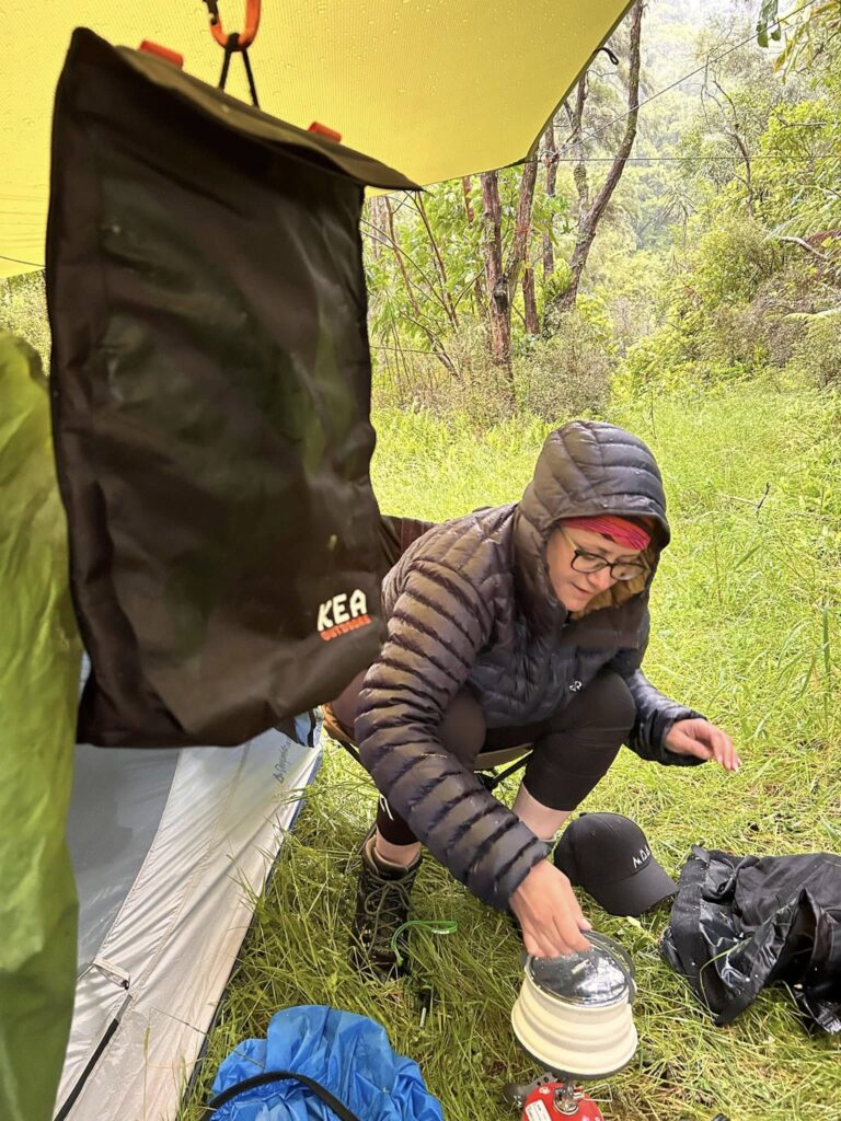
So we decide to find a place to pitch our tarp and tent and dry off. There aren’t many places. We walk back and go past the junction and go up the Old Mill Rd track for a bit. There is a swampy area which isn’t suitable but just a minute or so further and there is flat where we can pitch. More than sufficiently elevated from the river with trees to enable us to set up the tarp. With cold fingers and wet clothes, we hastily set up the tarp and tent, and change into dry clothes. I’m thankful I packed a couple of extra tea towels to dry off. We set up our mats and sleeping bags and enjoy a nice hot coffee while we slowly warm up.
We realise we will need more water to cook our dinner and because the grass is so long, it’s going to be a wet journey to get water. I brought my Grayl water bottle which I love. We have a Sawyer too and a Life Straw from Kea, but the Grayl makes for quick filtering of a decent amount of water. I volunteer as tribute because I had brought extra clothes. After some chitchat and relaxation in the nice dry tent, I head out to get water. There’s a small waterfall which I can get water from close by. I fill up our water bottles and head back. My clothes are already wet now so I take the opportunity to have a looksie around.
There’s remnants of a fire pit and I can get down to the river where East and West branches of the Turanganui River converge. I potter around for a while checking it out before heading back to camp. Time to cook dinner!
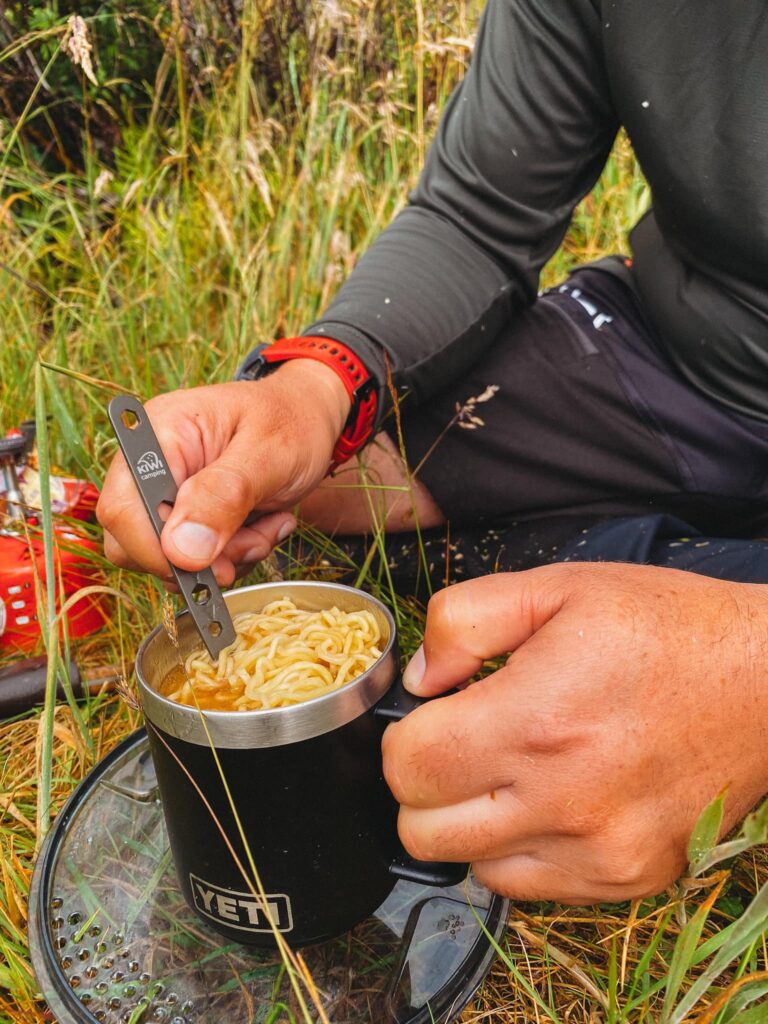
I had originally planned to cook some jazzed up noodles with pork belly and bok choi. Well, guess who forgot to get these out of the fridge! Yep it was me. I usually write a note on my pack to remember any fridge ingredients but thought I would remember. And remember, I did not. It was okay though, we’d eaten the other half of our subways once we had set up camp, so the noodles were more than sufficient.
With not much else to do because we wanted to stay dry, we got into our sleeping bags and lay down listening to the rain. We had high hopes the next day would be fine, and we drifted off to sleep about 8:30pm
We woke up about 7:30am to the pitter patter of rain on the tarp. I opened up the door and glanced out to see the weather hasn’t changed. It wasn’t cold but it was still wet. Jono made us a coffee and that and some gingernuts were our breakfast. We packed up, got back into our damp clothes and ready to hit the trail.
I had originally planned on taking old mill road back. We started up the track which followed the river and was even more crumbly and slippery than pig ridge. The overgrowth was pretty bad as well. The track was longer but not as demanding according to my research. My gut feeling was that maybe we should abort mission and go back up Pig Ridge. I wasn’t keen on the steep ascent back but after we ran into a large Onga Onga bush on the track, which Jono unfortunately had a brush with, we decided to go back and go up Pig Ridge. I would rather do that then venture into the unknown. It would probably break my spirit to get halfway down that track and then have to turn back. Also, one of the cardinal rules is “if in doubt, don’t go”.
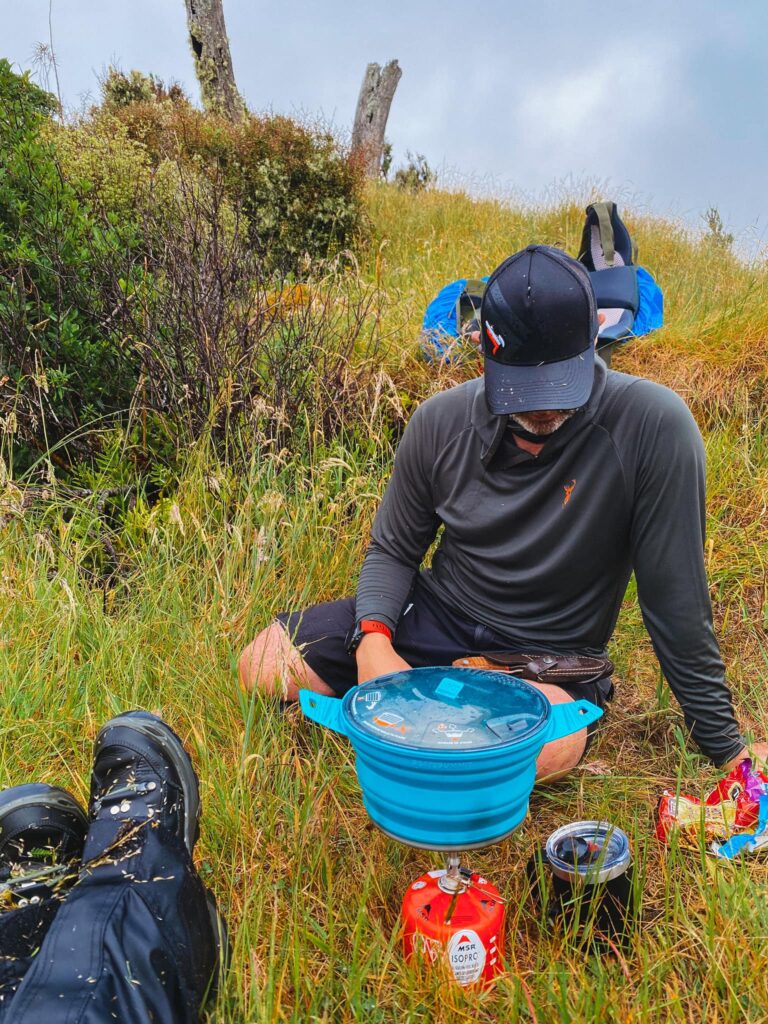
We slogged it back up the very steep 4wd track before emerging at the base of the ridge. I was happier going up this way than when I was coming down. We stopped at the second ridge to admire the view and have some, you guess it, noodles! While we were wet, the wind wasn’t cold thankfully. So after a quick lunch break, we carried on.
There were a few hands and knees scrambles and most of the ridges there was the option to sidle around through the bushes or climb up and over. The calves were definitely burning by this stage.
We had estimated the walk to be about three hours and we gleefully checked our elevation every so often as a pick me up. We navigated the thick gorse again and then some more uphill to reach the old mill road junction. The air was noticeably colder up here.
Encouraged at this last milestone, we forged on. Looking for markers that we saw on the way in. Another sidle around the hill until we reached the fence line. I knew we weren’t far off and just had one more section of overgrowth to push through. The air here was warm and humid, and the sun was trying to break through the clouds. Excitedly, Jono tells me he can see the end of the track on his watch, and we soon emerge back at the road end.
This time there were quite a few utes so it seemed the slightly better weather brought out some people. We quickly dried off and changed into dry clothes, and then headed back up the rutty road. By now the sky was blue and the drive back through the farm roads was beautiful. We didn’t see as many animals on the way back, but I did say hi to the cow family.

We continued to head home, with a quick detour to McDonald’s in Upper Hutt for a snack. I was pretty shattered, and yearning to get back home for a shower. The best showers are the ones you have getting back from a tramp or camp!
So overall a really enjoyable adventure. A few minor lessons like not underestimating the track, not relying on signposted times, and a reminder to really take a good look at the map before heading off into unknown territory. While we did separate for a bit, we quickly realised that was not a good idea. We were well prepared otherwise. We had our PLB, shared our intentions, and took sufficient shelter. Usually my extra clothes I bring remain unused, but I’m thankful to have packed them this time. We have a healthy respect for Mother Nature and we know our limits. It is better to make it somewhere in your own time safely, or turn back if you have any doubts whatsoever. While the hut would have been nice, we were prepared with our shelter and had suffient supplies. I always make sure to have enough for an extra day or so, and this is imperative when you’re venturing into lesser known territory.
While the old bones are a bit sore today, I thoroughly enjoyed the adventure and I’m already planning our next one.
We are always happy to help with all of your camping questions! Feel free to contact us on our Facebook group HERE and ask for Jono.
If you love what we do, please consider “buying us a coffee” to help us fund our endeavour of helping New Zealander’s get outdoors! All donations go towards the running of NZFA.
Happy adventuring!
Jono & Chloe
Leave a Reply